Protests Grow Over Fears of Two-Tier Health Care i
Protests across Canada rise over fears of a two-tier health care system as Alberta’s Bill 11 sparks

British Columbia is bracing for a series of storms expected to bring heavy rainfall, strong winds, and potential flooding across much of its coastal and central regions this week. Authorities are urging residents to prepare for power outages, high river levels, and localized flooding as the incoming weather system moves through the province.
The Ministry of Emergency Management has issued warnings as a series of storms is forecast to hit coastal areas starting Thursday. The weather conditions are anticipated to affect a wide range of communities, with particular concern for low-lying areas and regions along major rivers.
Environment Canada has issued wind warnings for the central and northern coast, including northern Vancouver Island and Haida Gwaii, as well as a significant portion of the central Interior. Gusts are expected to reach speeds between 90 and 110 kilometres per hour, creating hazardous conditions for drivers and residents alike. Falling trees and debris are possible, and authorities have advised caution near forested areas.
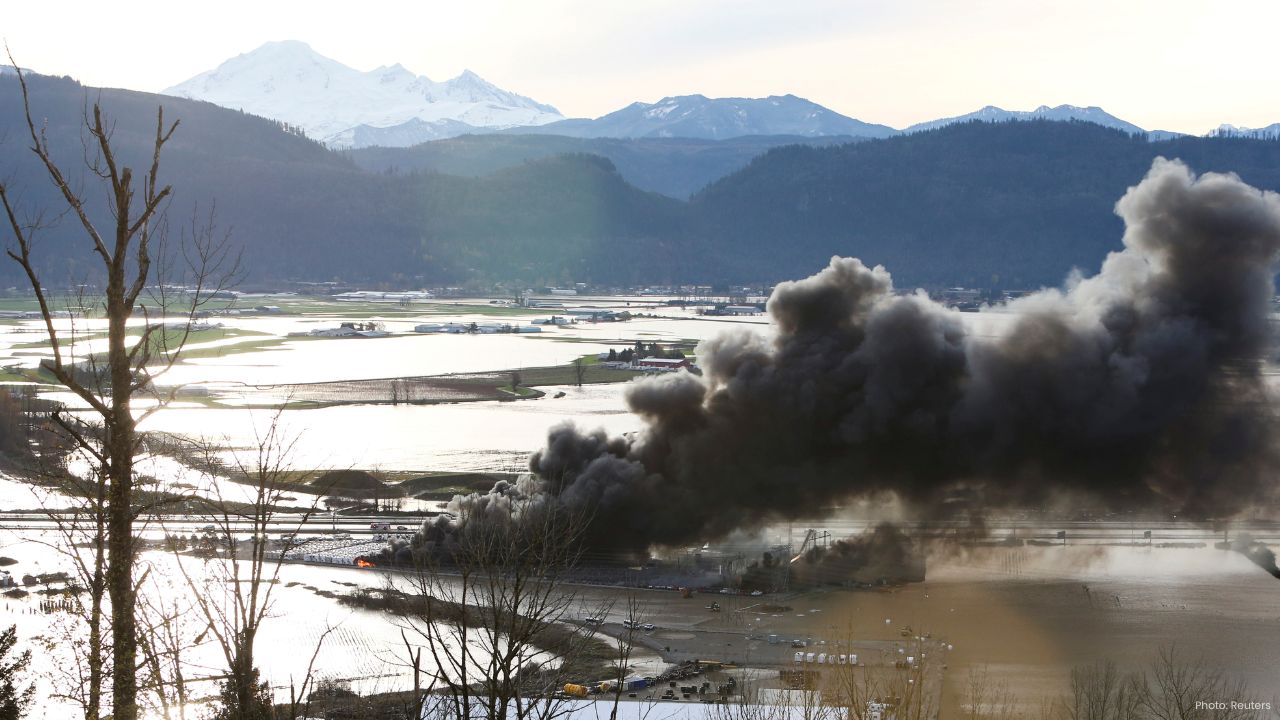
In addition to strong winds, rainfall warnings are in effect for both coastal and inland northern areas. Accumulations of 80 to 100 millimetres of rain are expected over the course of the storm, raising concerns about rising river levels and potential flooding in vulnerable regions. The northern and central coast, including the Skeena River and its tributaries, has already been placed under flood watch by B.C.’s River Forecast Centre. Officials have warned that heavy rain could cause rivers to spill over their banks, posing risks to homes, infrastructure, and transportation routes.
The River Forecast Centre emphasizes that while most river systems in B.C. are resilient, prolonged rainfall combined with already saturated soils in some areas could heighten flood risks. Residents living near riverbanks are being advised to monitor conditions closely and be prepared to move to higher ground if necessary.
As the storm system is expected to shift southward on Friday, additional warnings have been issued for the southern coastal regions, including southern Vancouver Island, the Sunshine Coast, the Lower Mainland, and the Sea to Sky corridor. The B.C. River Forecast Centre has issued a high streamflow advisory for these areas, cautioning that rivers and streams may rise rapidly in response to rainfall, especially in steep or urbanized watersheds.
Authorities are also highlighting the potential for power outages as strong winds affect electrical infrastructure. Emergency management officials recommend that residents ensure they have sufficient food, water, and other essentials in case services are temporarily disrupted. Portable chargers, flashlights, and backup heating options are encouraged, particularly for those living in remote or flood-prone areas.
Transportation authorities have warned that high winds and heavy rain may lead to hazardous driving conditions. Commuters are advised to exercise caution, reduce speeds, and remain alert for fallen trees, flooding, or debris on roadways. BC Ferries has also indicated that some sailings may experience delays or cancellations if wind conditions worsen.
Local municipalities are preparing for emergency response measures, including sandbag distribution and flood monitoring. Residents are urged to stay updated on official advisories and follow guidance from emergency services. For those living in areas prone to landslides, authorities are reminding them to be aware of ground stability, as heavy rainfall can trigger slope failures in hilly or mountainous terrain.
Overall, the combination of strong winds, heavy rain, and high river flows underscores the need for caution and preparedness across B.C. Residents are encouraged to stay informed through official channels and take proactive measures to protect themselves, their families, and property from the expected impacts of this storm system.